|
20 July 2002 Saturday |
Camping Trip 2002 (King's Canyon w/an afternoon in Yosemite) Scenic Road to Cedar Grove from Grant's Grove
|
|
|
KINGS CANYON Cedar Grove
Saturday,
7/20/02 2
Scenic Road to Cedar Grove
Sunday,
7/21/02
SEQUOIA Monday,
7/22/02
KINGS CANYON Cedar Grove
Tuesday,
7/23/02 Wednesday,
7/23/02 20 Cedar Grove - Knapp's Cabin
YOSEMITE
Thursday,
7/24/02
Links to our 2000 camping trip:
|
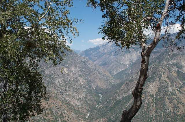
The
scenery changes as you wind your way from Grant's Grove to Cedar Grove.
It goes from pine tree forests to a chaparral type setting. This
spot is called Junction View. You see where the Middle Fork and the
South Fork of the King's River merge. This is the Middle Fork.
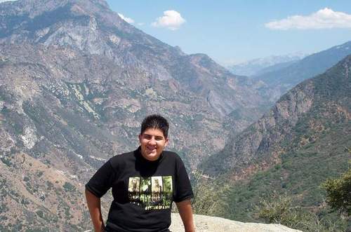
Nick poses, and behind him is the King's Canyon, where the South Fork emerges. You can see the road below that takes you to Cedar Grove. Grant's Grove is about 7,000 ft high, and you go down as low as 4,000 ft, where the road finally reaches the level of the river. As you travel upstream to Cedar Grove you go up another 600 ft in elevation.
This is just a group shot of us with the Sierras behind.
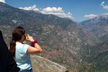
Kelly takes a picture of the Middle Fork.
As Brandi takes a picture, you can see the road winding around the mountain in the background, where it will meet with the South Fork of the King's River.
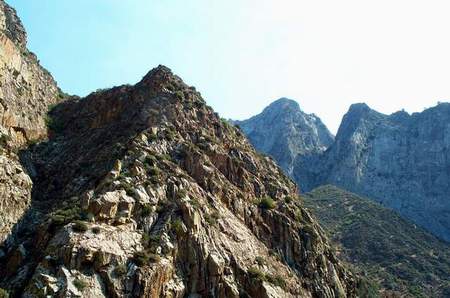
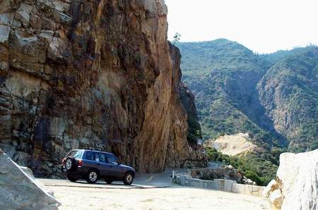
As you get closer to Cedar Grove, the hills around become more stark.
It's obvious that they had to cut through this rock to make the road.
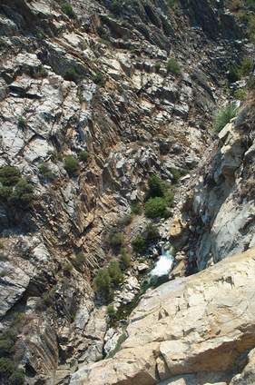
View of South Fork below. Taken from the road.
|